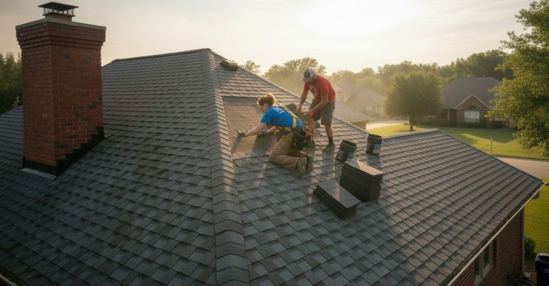
Roof Installation
Home Improvement
Roofing Services
Bloomfield Hills
Residential Roofing
House Roof Installation
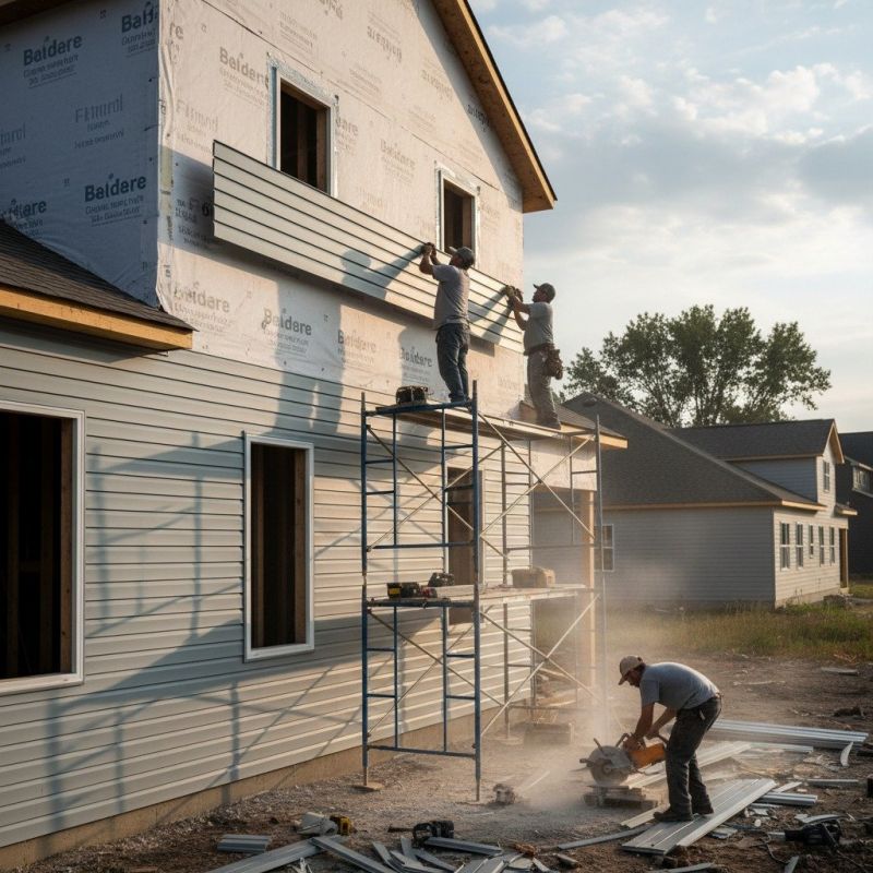
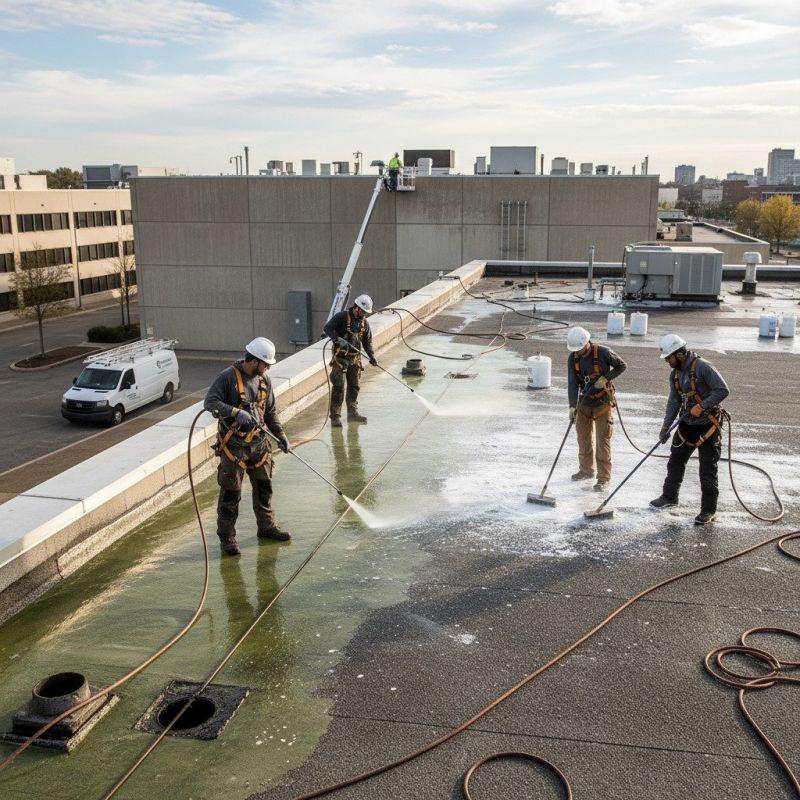
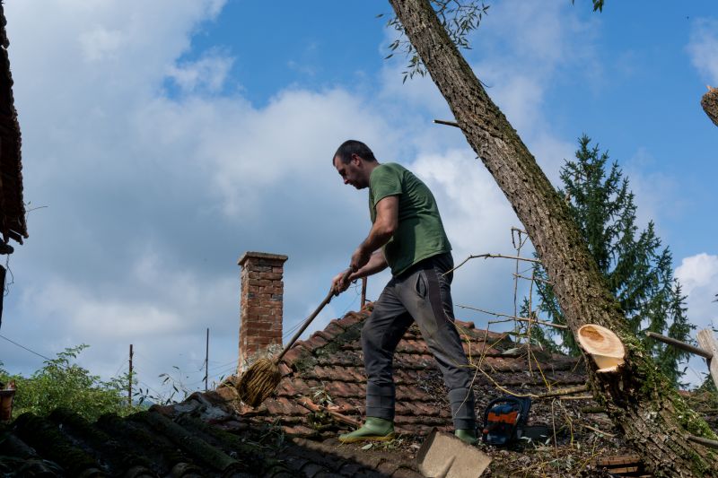
Our house roof installation services in Bloomfield Hills, MI, ensure durable, high-quality roofs that protect your home and enhance its appearance. We prioritize clear communication, expert craftsmanship, and practical results, making the process straightforward and efficient for homeowners.